Sensor Suites: The Eyes of a Level 4 Robotaxi
Achieving Level 4 autonomy requires a vehicle to interpret the chaotic physical world with absolute certainty, free from human intervention. Unlike advanced driver-assistance systems (ADAS) which rely primarily on the human driver as a fallback, Level 4 platforms must possess complete environmental awareness. This is accomplished through heterogeneous sensor suites.
Modern robotaxi fleets employ a combination of Light Detection and Ranging (Lidar), radar, and high-resolution optical cameras. Each modality possesses distinct strengths and weaknesses, meaning true autonomy lies in the sensor fusion—the ability of the onboard computer to merge these diverse data streams into a cohesive, real-time 3D map.
Lidar: The Precision Depth Mapper
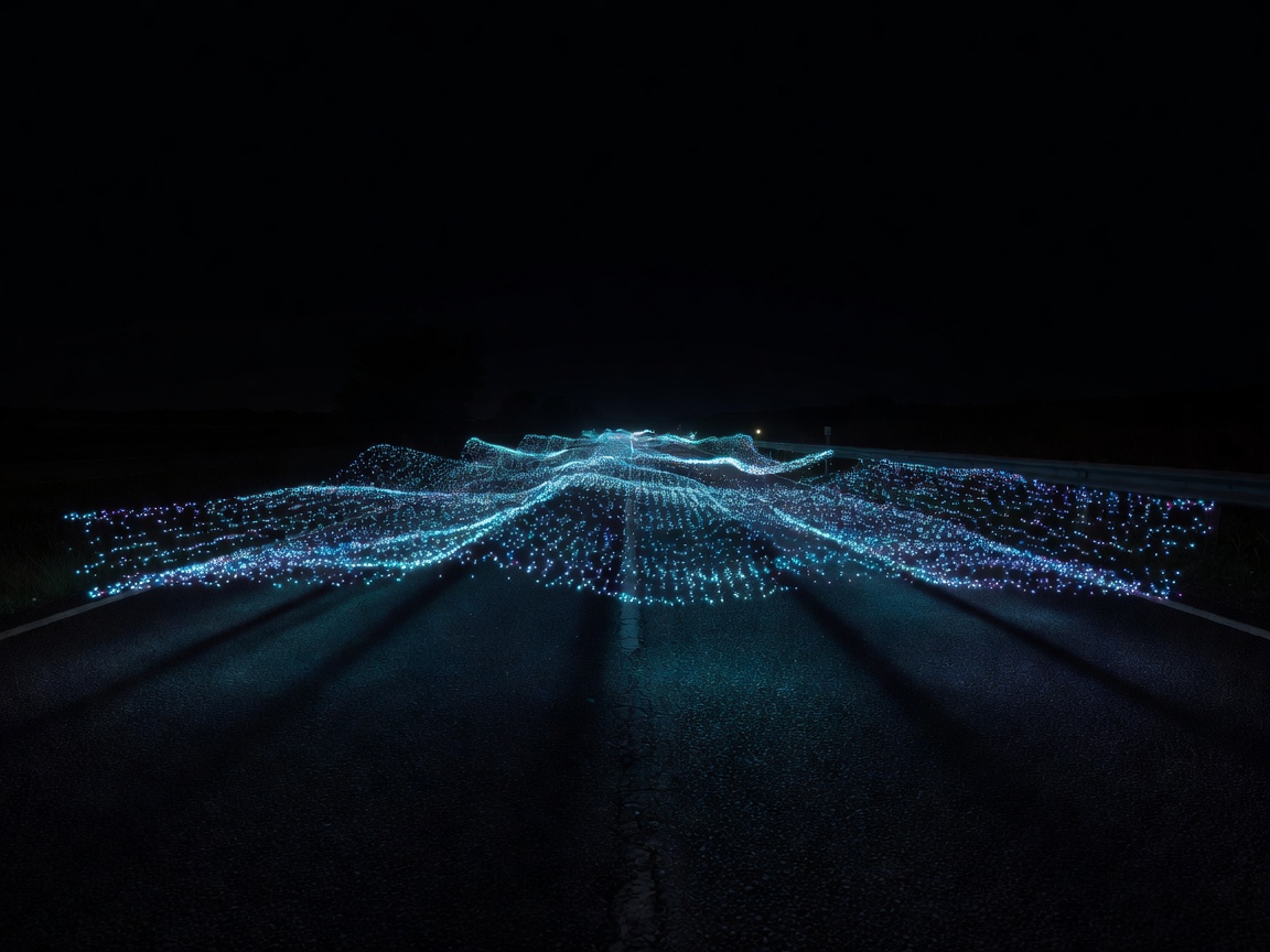
Lidar acts as the cornerstone for most Level 4 systems. By firing millions of laser pulses per second and measuring the time it takes for them to reflect back, Lidar generates a highly accurate 3D point cloud of the vehicle's surroundings.
- Strengths: It provides unparalleled depth accuracy and object geometry recognition, even in complete darkness. It is exceptionally reliable for determining the exact distance to a pedestrian or another vehicle.
- Weaknesses: Lidar struggles in heavy precipitation (like rain or snow), as the lasers can scatter off the particles. Historically, Lidar units have also been the most expensive components of the sensor array, though prices have plummeted over the last decade as solid-state technology advances.
Radar: The All-Weather Velocity Tracker
Radar (Radio Detection and Ranging) utilizes radio waves to detect objects. While its resolution is far lower than Lidar, meaning it cannot easily distinguish between a pedestrian and a mailbox, it excels in measuring speed.
Through the Doppler effect, radar provides instantaneous velocity data of moving objects. Furthermore, radio waves easily penetrate fog, heavy rain, and snow, serving as a critical fallback when optical cameras and Lidar are compromised by severe weather conditions.
Cameras: Semantic Understanding
Optical cameras are the only sensors that can read color and texture. They are essential for recognizing traffic lights, reading street signs, and understanding lane markings. Modern robotaxis are outfitted with numerous cameras facing in all directions, overlapping to provide continuous panoramic vision.
While cameras offer rich, dense information, they suffer from the same limitations as the human eye. They can be blinded by direct sunlight, struggle in low-light environments, and require heavy computational power—usually via deep neural networks—to infer depth from 2D images.
The Necessity of Sensor Fusion
Relying on a single sensor type is insufficient for Level 4 deployment. The prevailing consensus among engineers is that hardware redundancy is non-negotiable. If a camera is blinded by the setting sun, Lidar must confirm the path is clear. If heavy fog obscures the Lidar, radar must step in to detect obstacles ahead.
The core challenge is less about hardware and more about the compute required to process this data. The vehicle's "brain" must perform sensor fusion in milliseconds, aligning the point cloud data from the Lidar with the 2D imagery from the cameras and the velocity vectors from the radar, filtering out noise and making life-or-death decisions instantaneously.